Zyuratkul Range
It is located on the left bank of the Big Satka River, 12 km southeast of the town of Satka. This is one of the largest and most majestic mountain ranges in the central high-mountain part of the Southern Urals. Its length from northeast to southwest is about 8 km. The highest height - 1185 m. At the highest point of the ridge is a group of three giant outliers called "Bears". Of particular interest is the group of remnants of the "Pillars" - a huge rock mass, dissected from west to east into two unequal parts. Galleries of figures, sculptures, idols, idols here are the most numerous. "Pillars" are a geological and historical natural monument of the Chelyabinsk region.
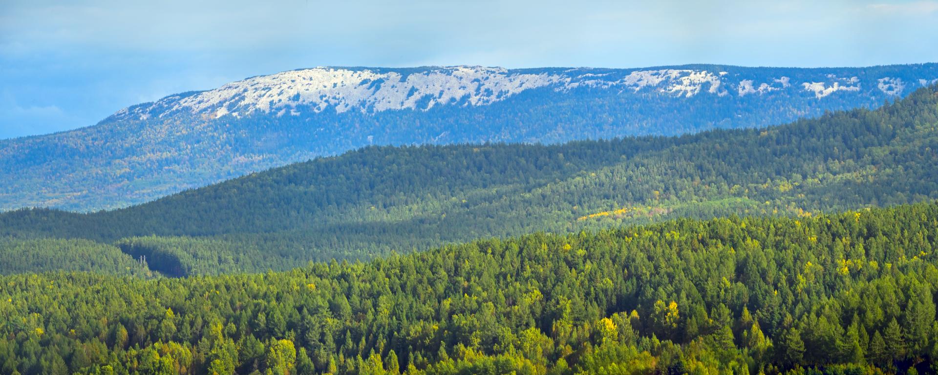
One of the main peaks of the ridge - Golaya Sopka (1059 m) - is amazing in its shape. This is a gigantic remnant of regular conical shape, located in the center of a flat peak at an altitude of 850 m.The base of the hill has an almost perfect circle with a diameter of 500 m, the height of the cone is about 240 m.The cone is composed of huge blocks of white quartzite and a colored fang-like tooth. The slopes of the hill are steep, almost devoid of vegetation, for which it got its name. In clear weather, the Naked Hill is visible for tens of kilometers.
Here you can meet the "stone rivers" - Kurums, descending far down the slopes to the foot of the ridge, invading the lowlands and swamps. On the ridge there are reference sections of mountain tundra and dark coniferous taiga.
An ecological path made of wooden flooring is laid to the very foot of the ridge, so the climb is accessible even to young travelers.