Mountain Range Suka
Category:
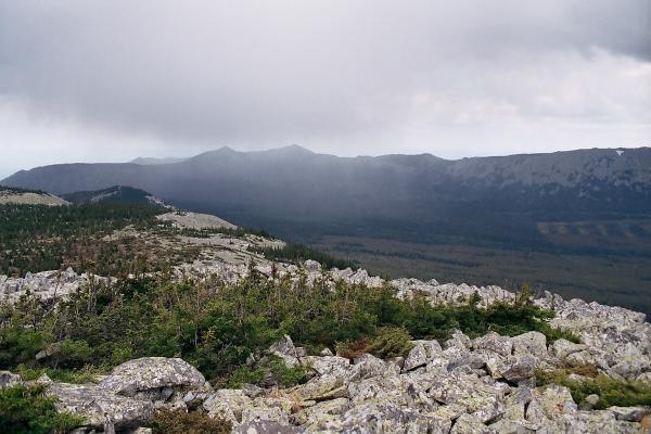
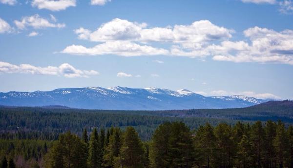
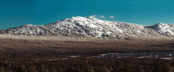
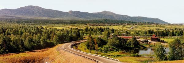
The ridge is located between the Malaya Satka and Yuryuzan rivers, with a length of 27 kilometers from the southwest to the northeast. The highest point is 1195 meters. Consists of two parts: Big Suka and Little Suka.
The slopes of the ridge are covered with numerous stone rivers - Kurumniki. Among stone placers, lonely spruce and birch trees grow. Often there is larch. The name of the ridge comes from the Bashkir word "suky", which means "peak", "comb". Indeed, the ridge has a sharply protruding, protruding ridge, composed of quartzites.


